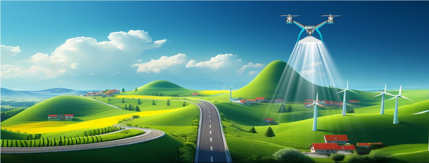

List of Services

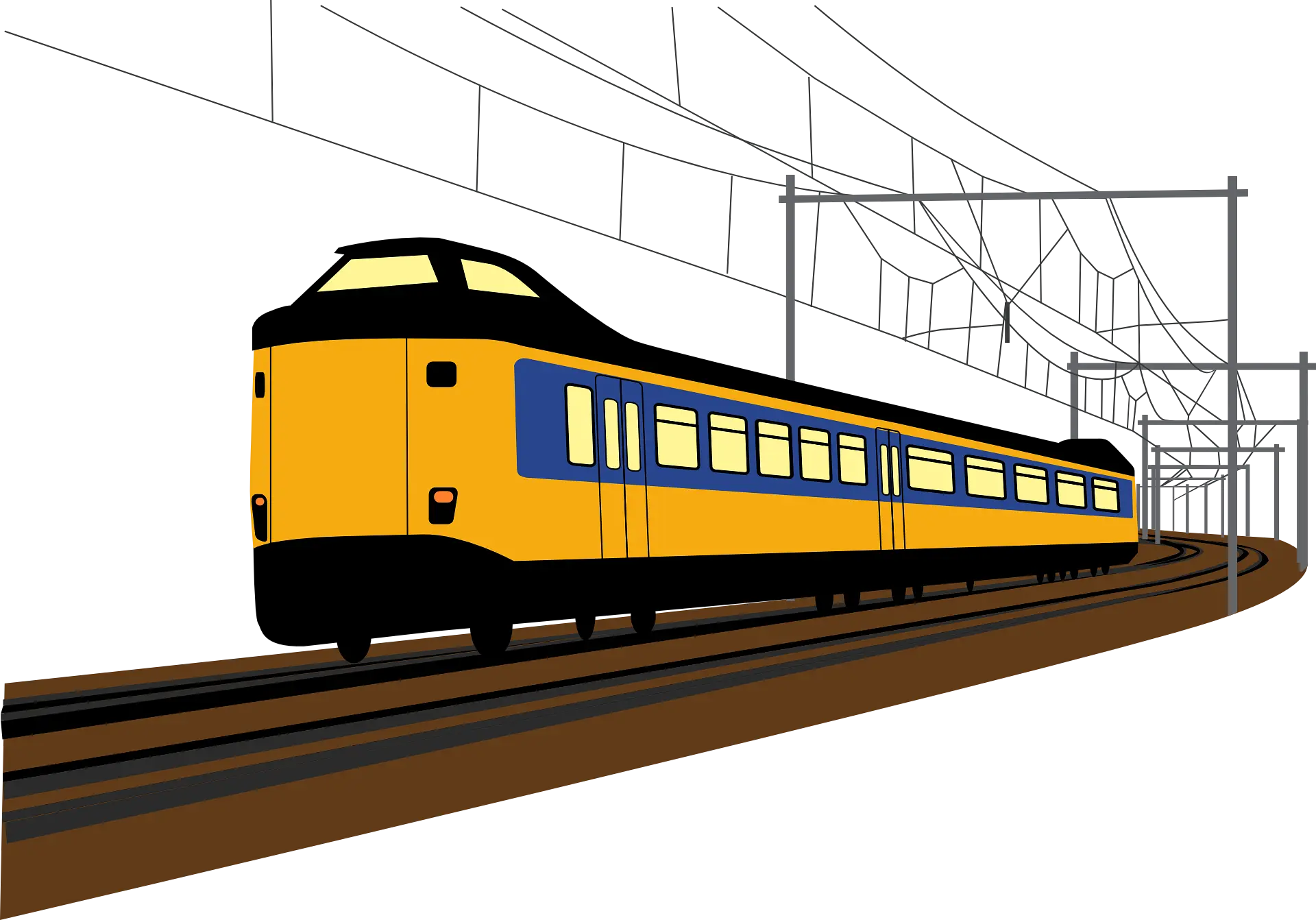
Railways
Drones are utilised to keep track of project progress and assure accountability and efficiency. They are also used to examine railway infrastructure such as bridges, OHE, rooftops, and inaccessible railway infrastructure on a regular basis without endangering life or causing downtime or delays.
- Topographical Survey
- High Resolution Ortho
- Progress Monitoring
- Aerial Videography
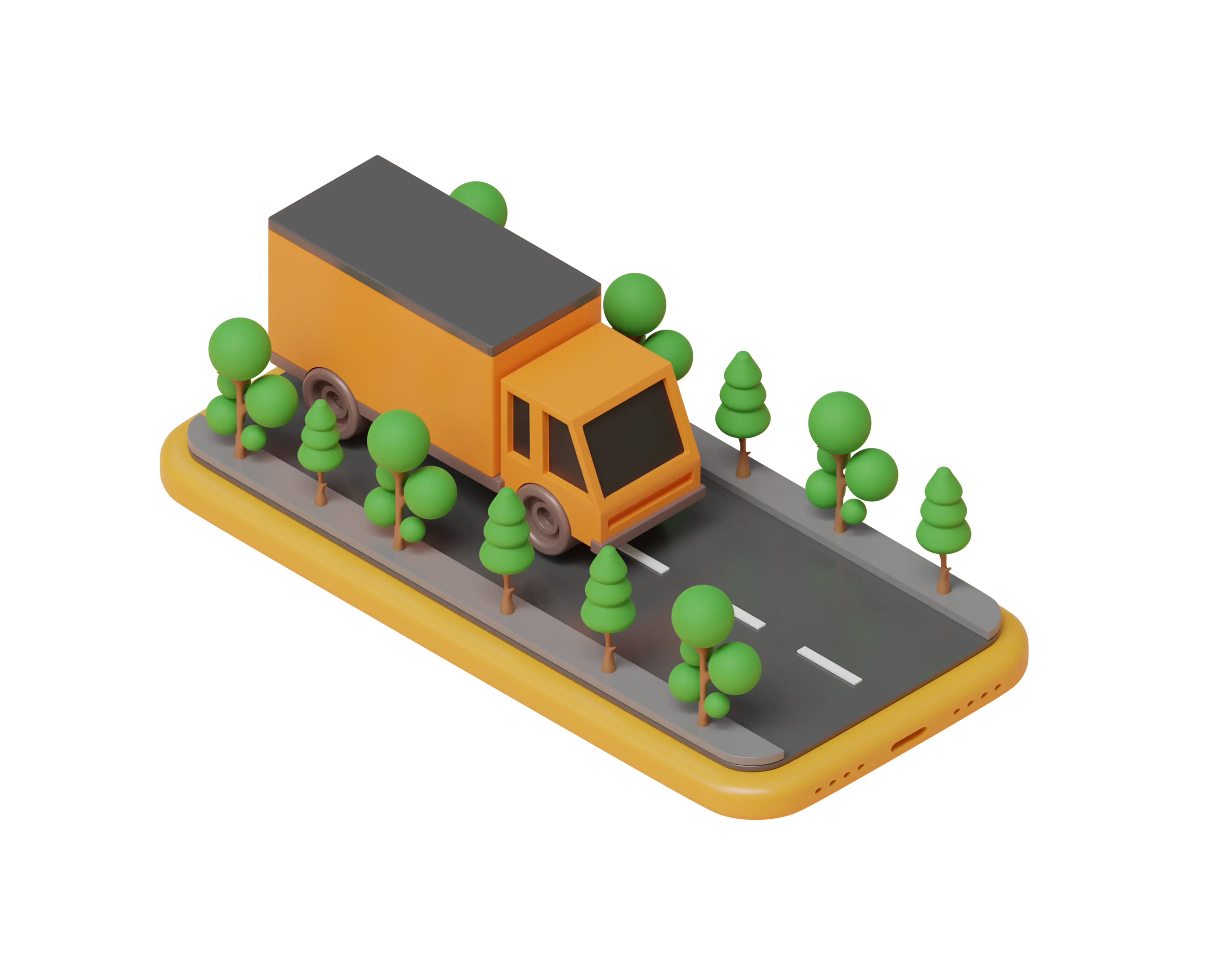
RoadWays
Drones are utilised to keep track of project progress and assure accountability and efficiency. They are also used to examine railway infrastructure such as bridges, OHE, rooftops, and inaccessible railway infrastructure on a regular basis without endangering life or causing downtime or delays.
- Topographical Survey
- High Resolution Ortho
- Progress Monitoring
- Aerial Videography
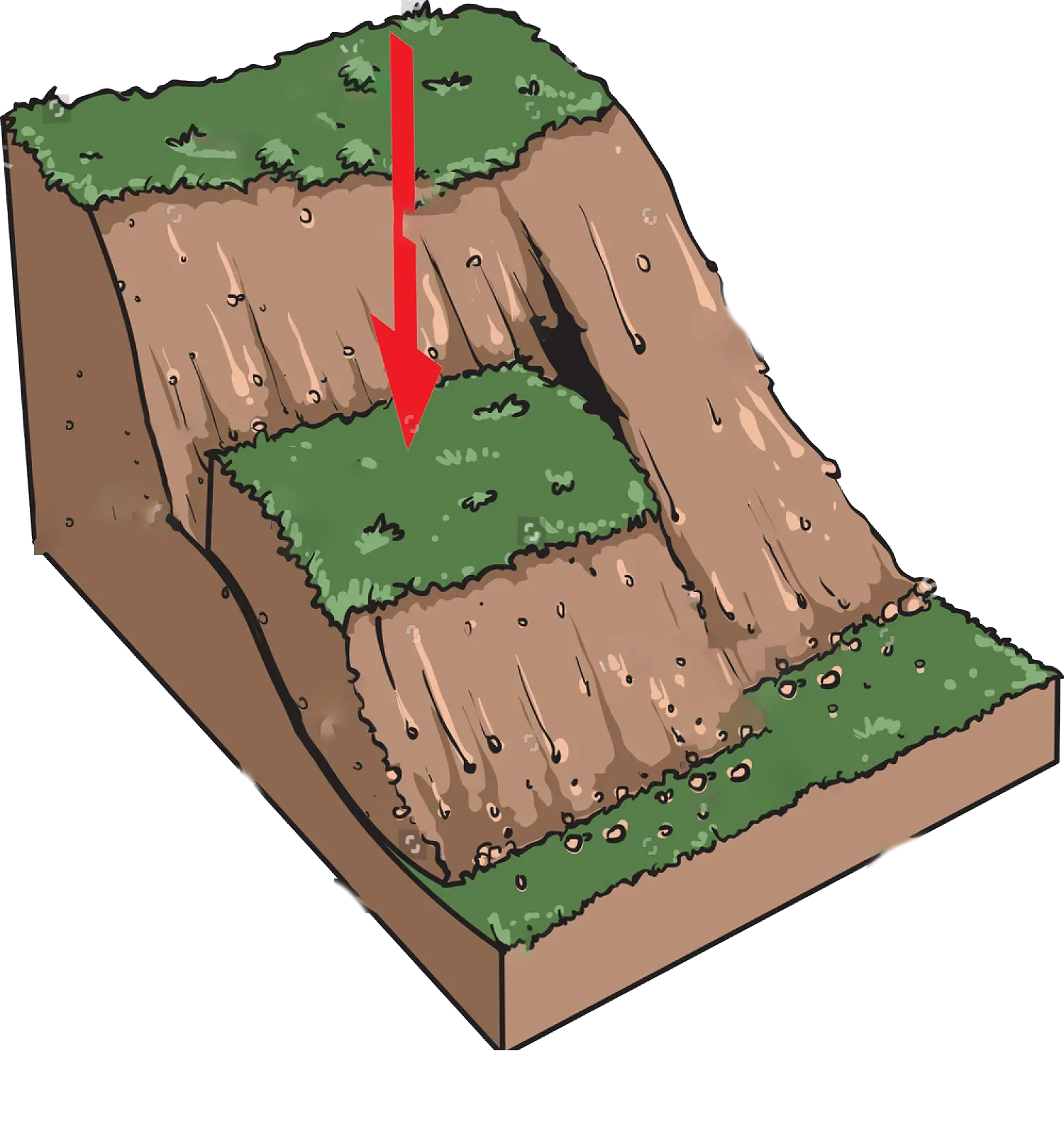
Landslide Mapping
Drones are utilised to keep track of project progress and assure accountability and efficiency. They are also used to examine railway infrastructure such as bridges, OHE, rooftops, and inaccessible railway infrastructure on a regular basis without endangering life or causing downtime or delays.
- Topographical Survey
- Landslide Mapping
- Videography
- DTM and Contour
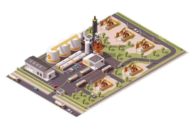
Oil and Gas
Drones may be used in three primary sectors of the oil and gas industry when it comes to deployment. They can be used in upstream, midstream, and downstream operations by the firms. Drones are rapidly being used by oil and gas businesses to decrease risks and expenses while enhancing productivity by reducing failures and shutdowns.
- Pipeline Mapping
- Industrial Drawing
- 3D Modelling
- Videography
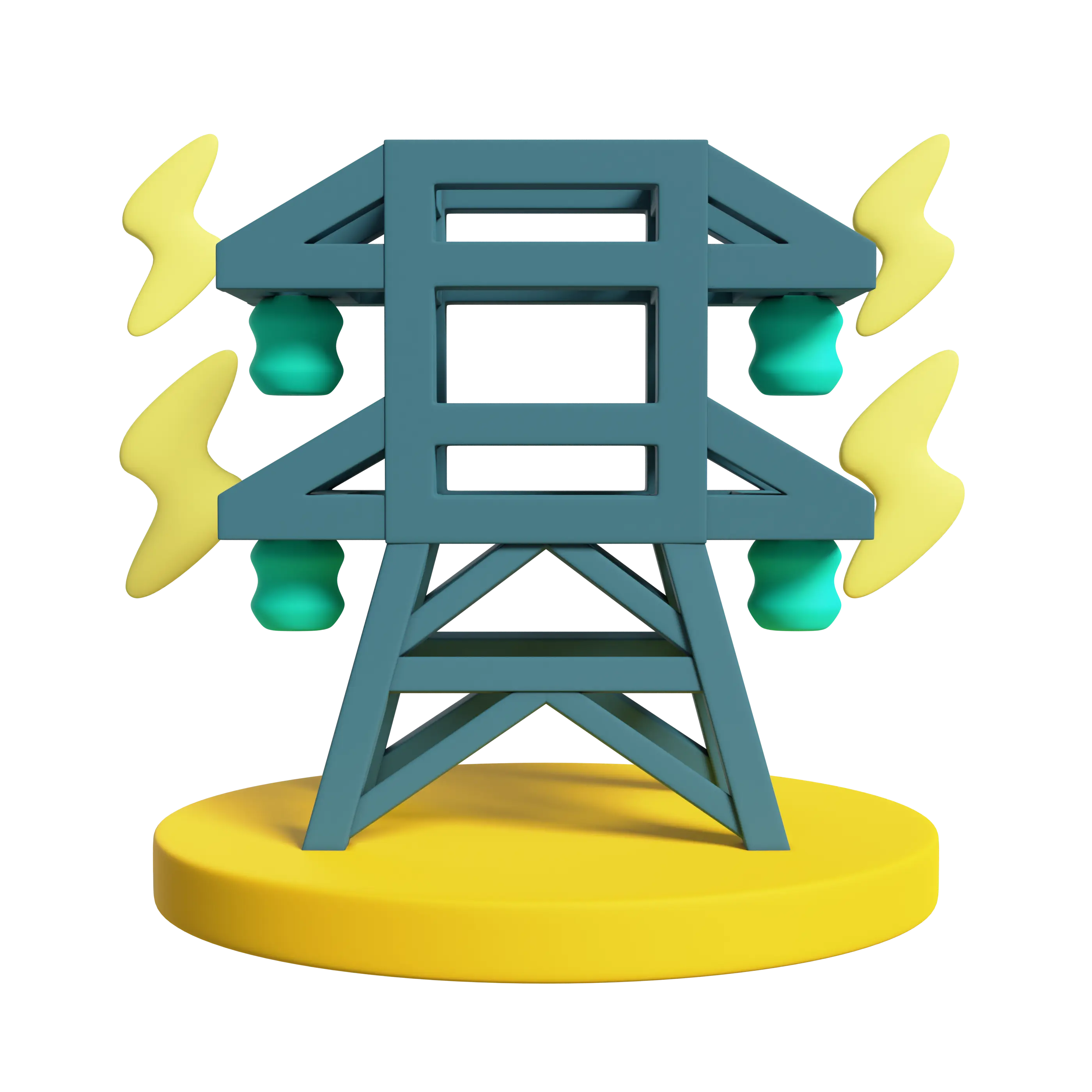
Power Line
Drones can follow corridor routes, ensuring data collecting efficiency. Low altitude and modest flight speed provide engineering-grade accuracy for application in detailed design.
- 3D Modelling of Towers
- Ground Clearance Calculation
- Vegetation Clearance Calculation
- Damage Report
- Videography
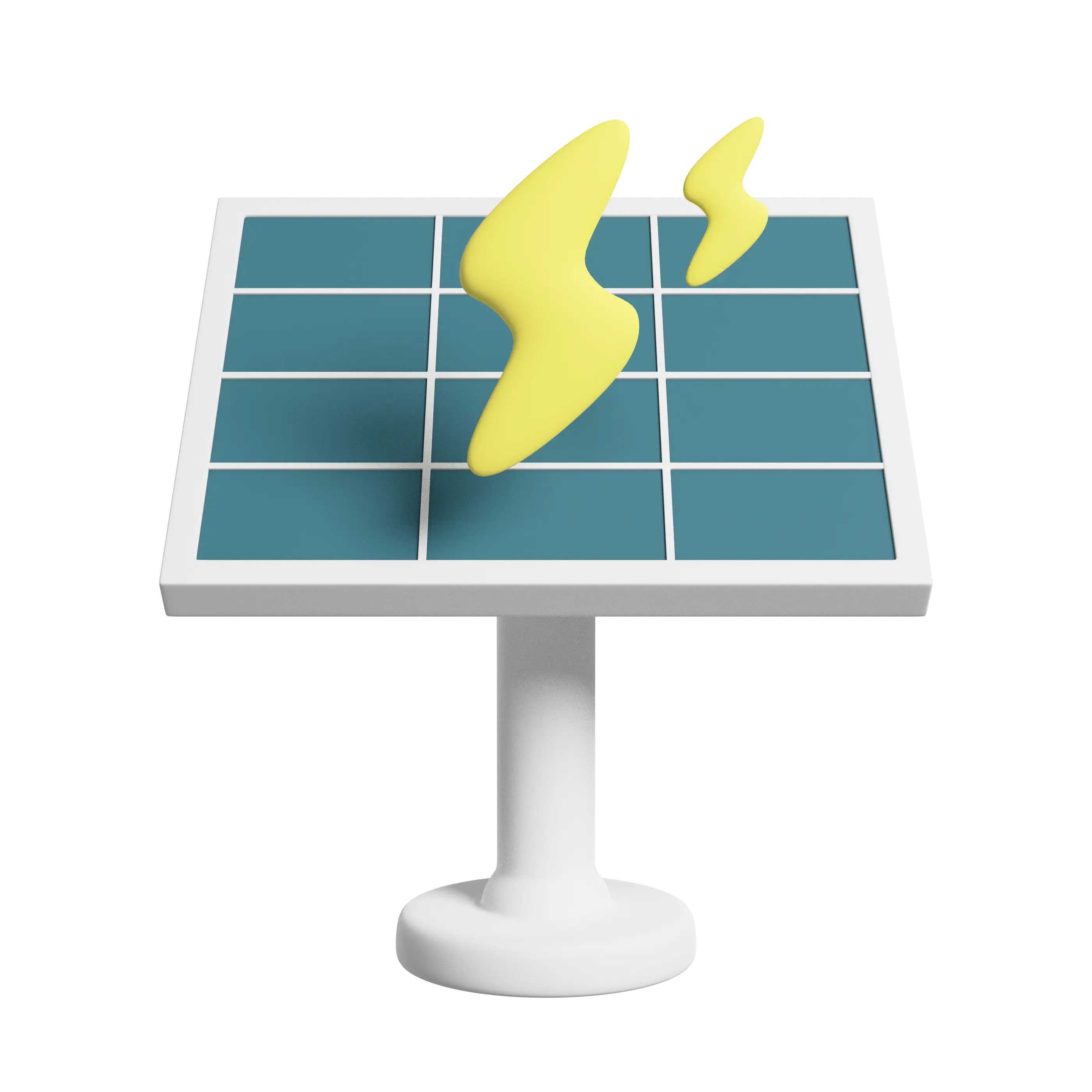
Solar
Drone Surveys are booming in the renewable energy business. It is critical to ensure the quality of the solar power plant in order to provide adequate electricity generation, cost savings, and asset longevity. We provide timely thermal imaging (Aerial Solar) inspections for solar power plants to ensure their safety and effective deployment.
- Solar Topography
- Solar Thermography
- Inspection Report
- Videography
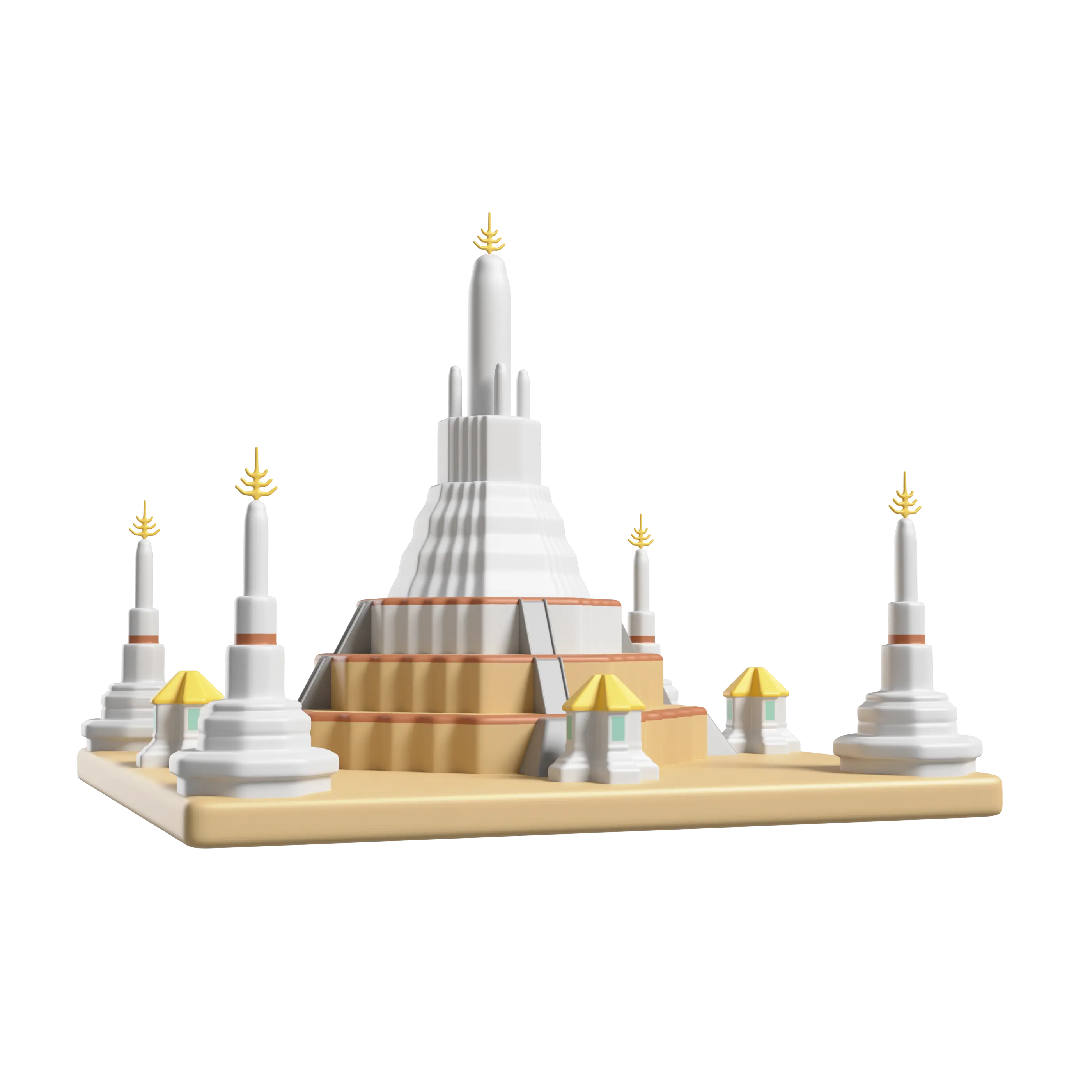
Monument Modelling
Drone-captured aerial photos significantly speed up and simplify topographic surveys for monument modelling.
- Topographical Survey
- 3D Modelling
- Videography
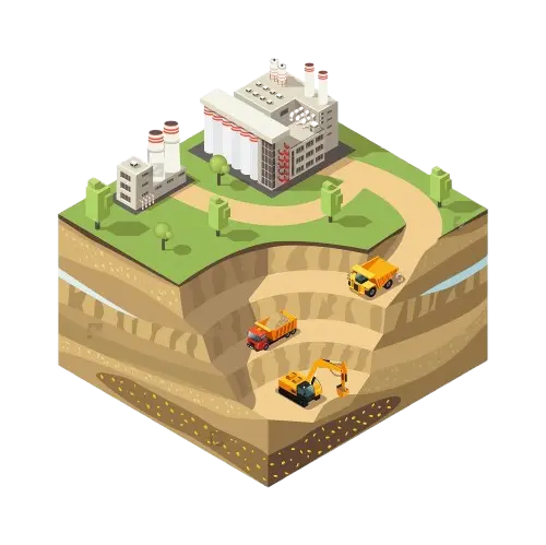
Mining
Drones in mining increase the overall efficiency of major mine and quarry management by giving precise and complete data outlining site conditions in a short period of time. They also facilitate greater coordination between teams on-site and globally, as well as providing dynamic oversight of all operations.
- Topographic Survey
- Stockpile Calculation
- Change Detection Report
- Progress Monitoring
- Aerial Videography
- Videography

Unlock the fastest method of survey and elevate your worksite productivity with the most futuristic solution to all your problems.
Follow Us